


Utilities refer to the conduits present underground which are usually meant to transport gas, electricity and water. During construction, before any kind of excavation can begin, it is necessary to check if there are any utilities running beneath in order to not damage them. This is where utility locating equipment comes into picture. In this blogpost, you will get to know about the working and uses of utility locating equipment.
Working of utility locating equipment
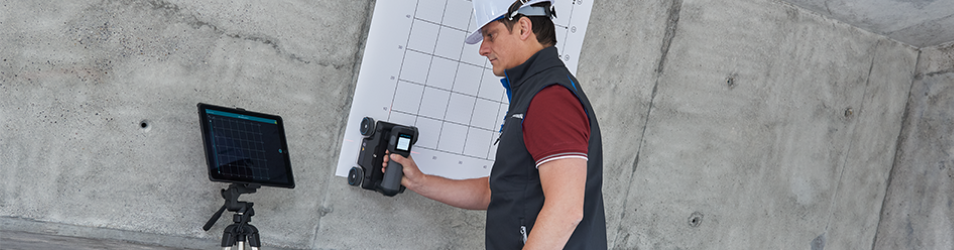
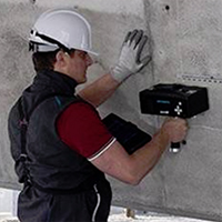
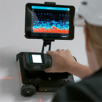
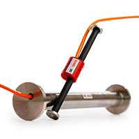
A majority of utility location equipment works on the principle of electromagnetic waves. The device has an emitter fitted on it, and a receiver. When you want to map the utilities underground, you place the device on site and switch it on. Electromagnetic waves travel into the ground and “images” start showing up on the monitor, displaying utility lines running underground. The principle used here is the conductivity of the conduits – since they are metallic, they allow electromagnetic waves to map them. The good thing is that frequency of the waves can be modified to display more number or less number of utilities underground. You can do that when you connect the device to the utility over the ground.
Uses of utility locating equipment
- This equipment is used to map the utilities underground to get a clear picture of the subsurface before construction begins.
- Sometimes it is used to detect problems or leakage in utilities, and to pinpoint the area of repair work.
- It is also used in the construction industry to design foundations in a way that utilities can be easily incorporated or extended, or avoided.
Now you know all there is to know about utility locating equipment.