
GPR News July - September 19
GPR Field Methods for Minimizing Site Impact (Part 1)
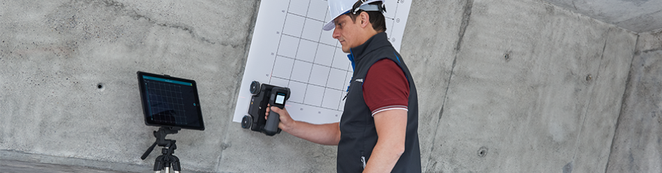
It is possible to minimize environmental impacts and greatly reduce site costs through improved efficiency by employing Ground Penetrating Radar (GPR) field methods. This article will detail how GPR data collected from several Australian projects was used to minimize site impacts and provide trenchless solutions. In each project, GPR was used along with other techniques to reduce the amount of excavation and non-destructive digging (NDD) required with a hydro-vac or dry suction. 
GPR field methods will include but are not limited to:
- Initial scanning with GPR to locate assets and detect any unknown objects prior to excavation or NDD.
- On-site interpretation of GPR data as it is collected to understand key locations and site conditions to decide on an excavation or NDD strategy.
- Using selective core hole drilling to confirm asset location or tap into the existing asset to install a new connection or water stop.
- Reporting and post-processing of GPR data to document key locations and the methods used.
An overall strategy for GPR scanning will be outlined to enable these methods to be applied to future projects.
Approaching a Project
- GPR Field Methods Used
- Initial Scanning
- On-Site Interpretation
- Excavation or NDD - Selective Core Hole Drilling with Dry Vac
- Reporting and Post Processing - Leads to overall strategy…
Application 1: Estimating Projects
Project 1: Ground Conditions & Depths
Looking for a position for a new pipe with minimal digging.
1) Electronically located looking for conduits to confirm depth
2) Cores to figure out material in some areas
3) GPR to see if the whole area is consistent
GPR scanning reveals:
• Old asphalt (150mm thick) transition to deep lift asphalt (400mm thick).
• Ground conditions remain same. Coring provided info that it was sandstone, not sand or clay.
Augmented Reality (AR) Telling the Story in the Field