%20vector%20logo.svg)


Phone: 02 9453 9999 or Email: sales-operations@pcte.com.au

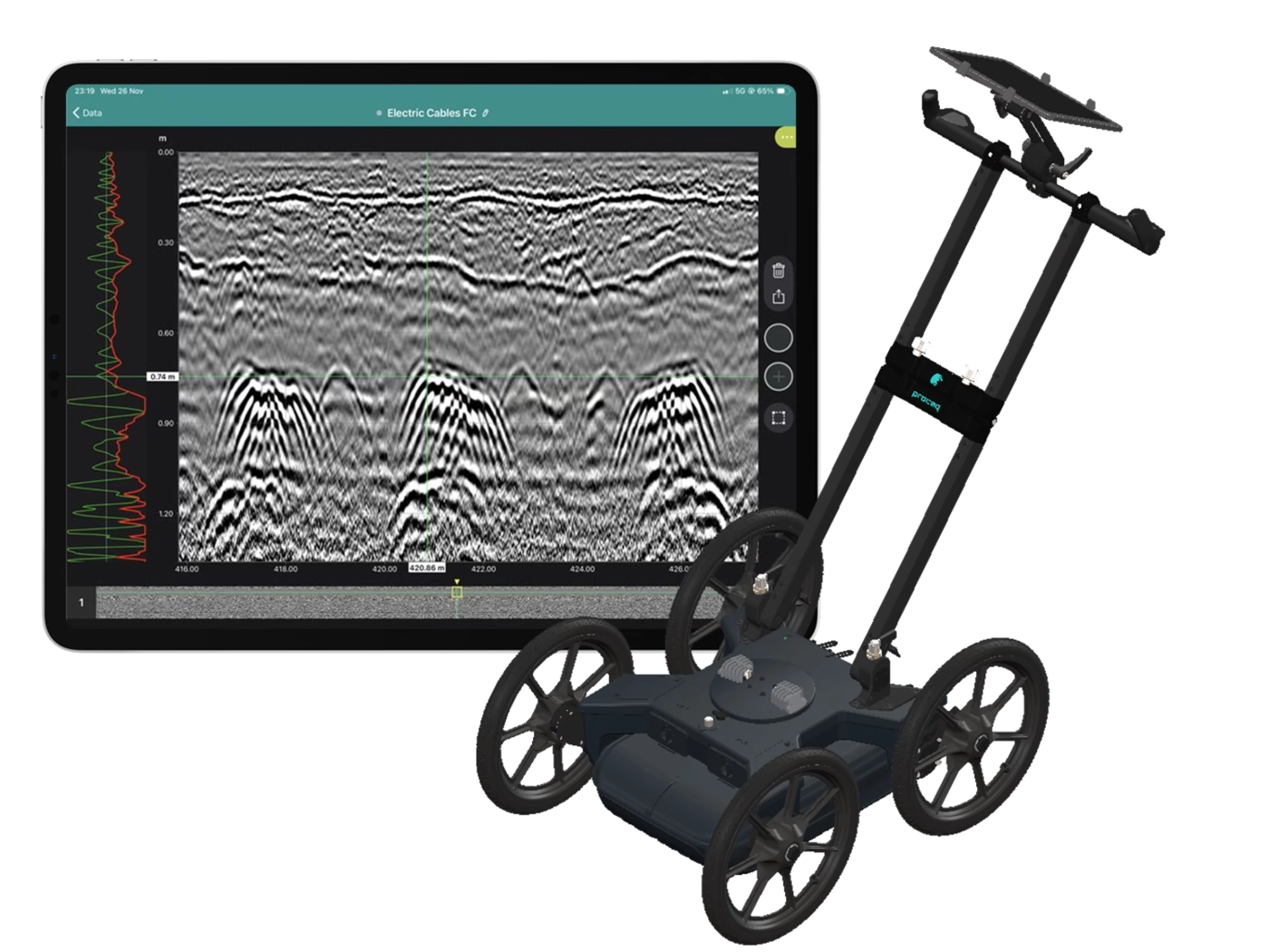
The Proceq GS8000 is a light weight and easy to use Ground Penetrating Radar device for utility location. The equipment produces high resolution scans using a stepped frequency antenna which covers a frequency range of 40 MHz to 3.4 GHz.
Overview | GX1 vs GX2 | SUE & Utilities | Structures & Pavements | Software & Outputs | Case Studies | Specifications | Support
Collect high-density, georeferenced GPR data across wide areas and view the subsurface in 3D as you scan. Choose the GX2 array for SUE and utility mapping, or the GX1 array for structural, bridge and pavement investigations.
Best suited to:
Best suited to:
Recommended array: GX2
Recommended array: GX1
Cover more ground
Collect multiple parallel profiles in one pass instead of uilding a grid line by line.
See results during acquisition
View georeferenced radargrams and time-slice information in the field rather than waiting until the data is returned to the office.
Produce repeatable mapped data
Combine wheel-positioned GPR data with GNSS, project coordinates and survey linework.
Use one platform for two very different applications
Exchange GX1 and GX2 arrays without purchasing two complete cart platforms.
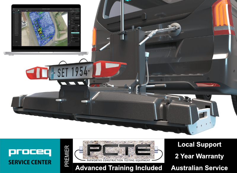
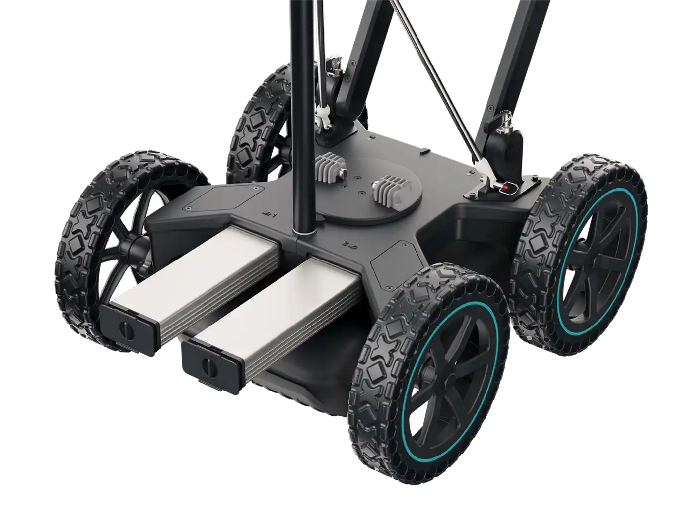
The GX2 transforms the GS9000 into a high-density subsurface utility mapping system. Its 11-channel, low-frequency GPR array captures an 83 cm-wide swath in each pass, helping operators detect and map buried pipes, ducts, cables, voids and other subsurface features. Live georeferenced data lets SUE teams review coverage on site and produce accurate CAD, GIS and project-coordinate deliverables.
1. Plan the survey
Load satellite imagery, CAD information, project coordinates or survey control.
2. Collect dense multichannel data
Survey an approximately 0.82 m-wide swath with 11 channels in each pass.
3. Review data live
Examine radargrams, georeferenced time slices and marked features while still on site.
4. Interpret and digitise
Add points, linework, tags, photographs and field observations.
5. Process and deliver
Merge survey areas, apply processing and export mapped information for the customer’s CAD, GIS or reporting workflow.
View the images below to see these in action.
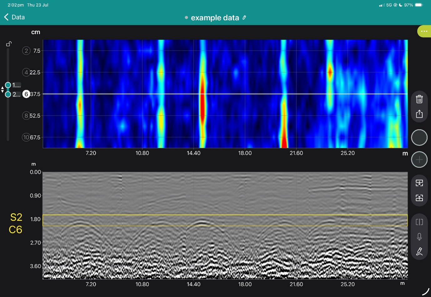
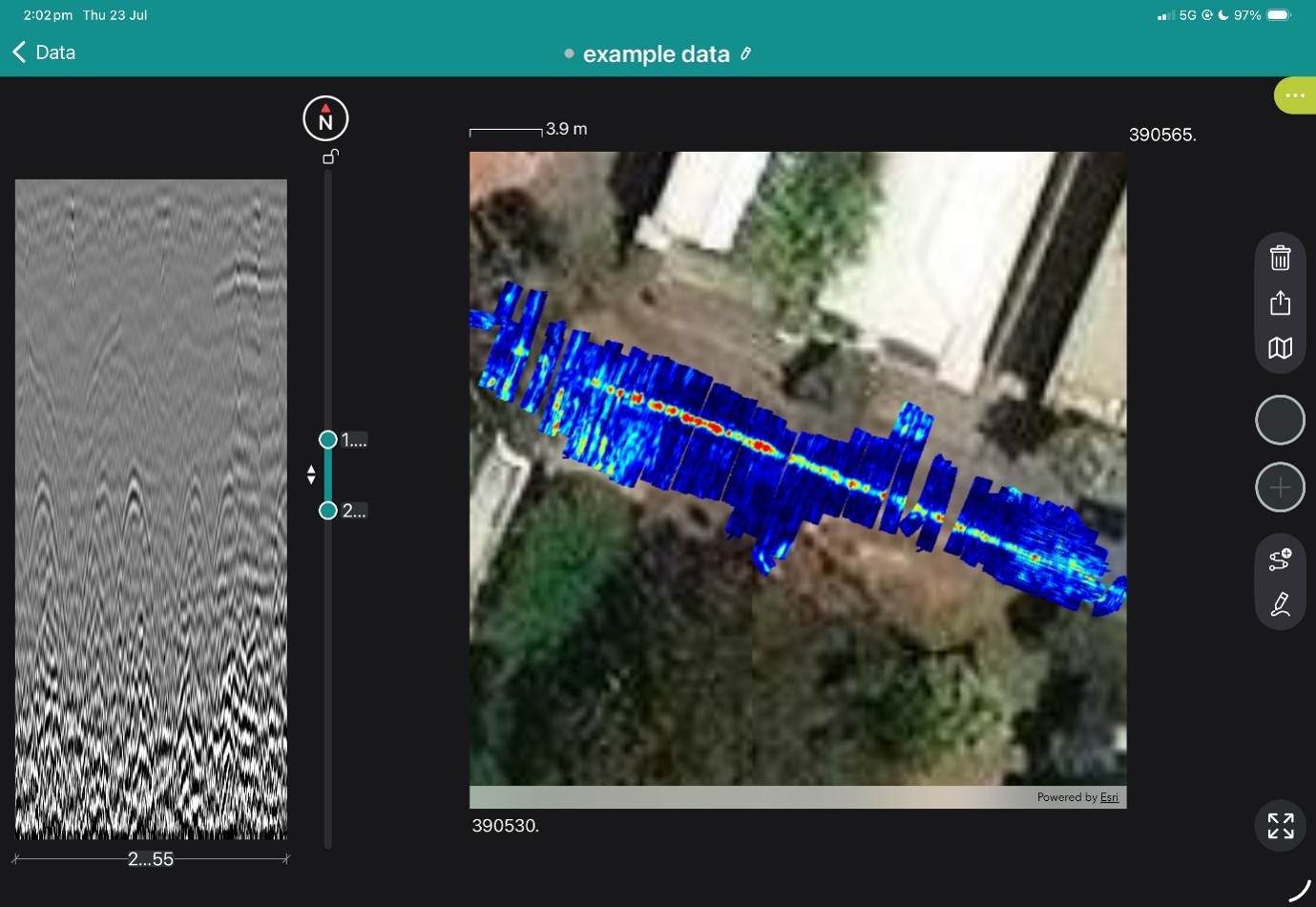
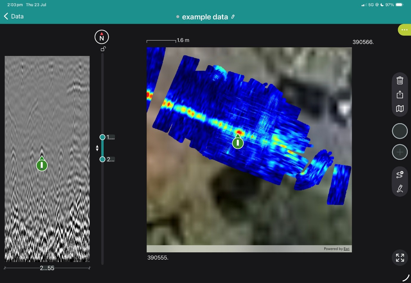
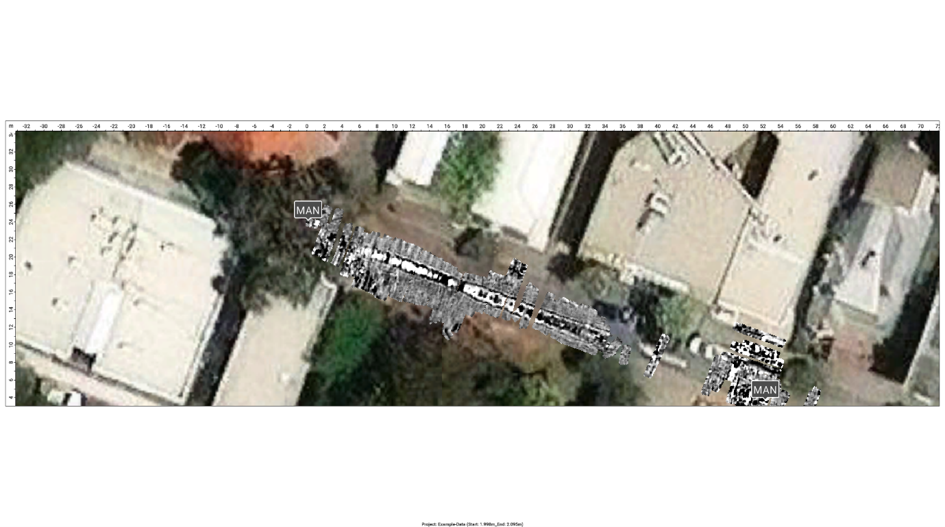
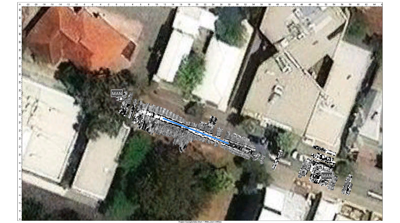
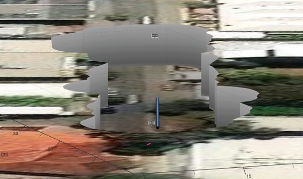

The Proceq GS8000 utility scanner offers 2D and 3D GPR data collection with baked in positioning, a superior clarity of data and improved depth penetration thanks to the unique stepped frequency antenna. It is optimised for close-spaced and deep targets alike, with a dedicated high-frequency view available.
GPR scans are saved within the Proceq GPR Subsurface App on Apple iPad, for Pro users, all data is also saved on the cloud and linked to their Workspace user account, enabling processing and review of data from any Apple iPad the user signs into.
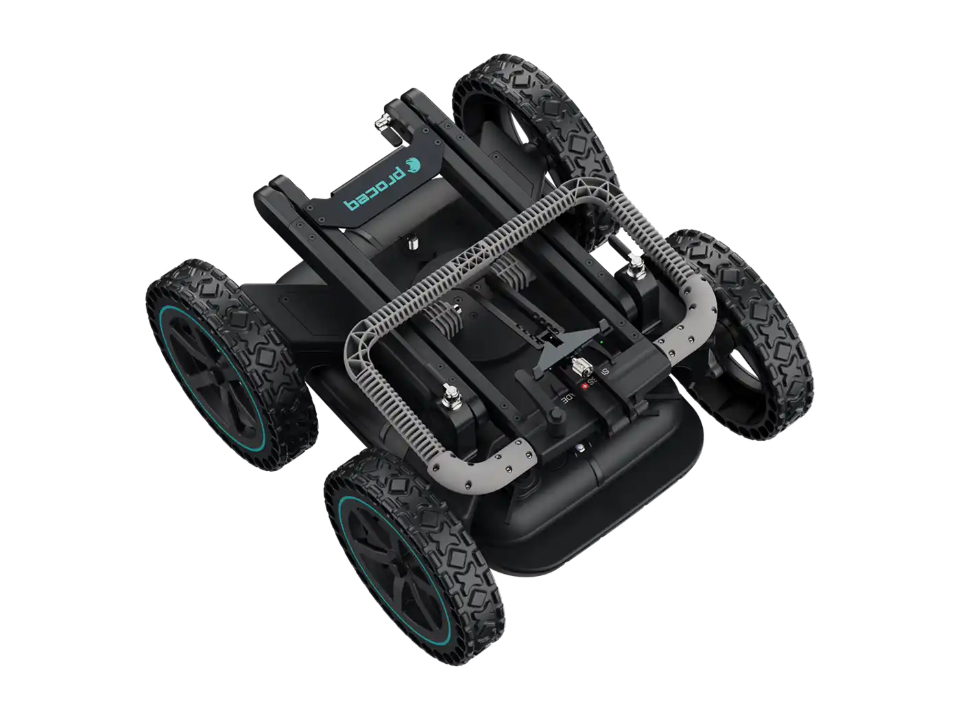
The simple to learn controls, quick setup and intuitive layout create a worry-free collection and processing experience. When combined a GS8000 GPR and any GPS a single operator can collect, annotate and process their data during collection, or in a post-processing software workflow or simply mark and locate with the speed and clarity a top down view offers.
Dual frequency GPR visualisation give a user total confidence that any pipes, services or structures which are detectible are presented with optimal clarity and detail.
A simple to use combined High and Low frequency display give the user the ultimate control over their data visualisation, maximise a chosen frequency or have a perfect blend of high and low frequencies.
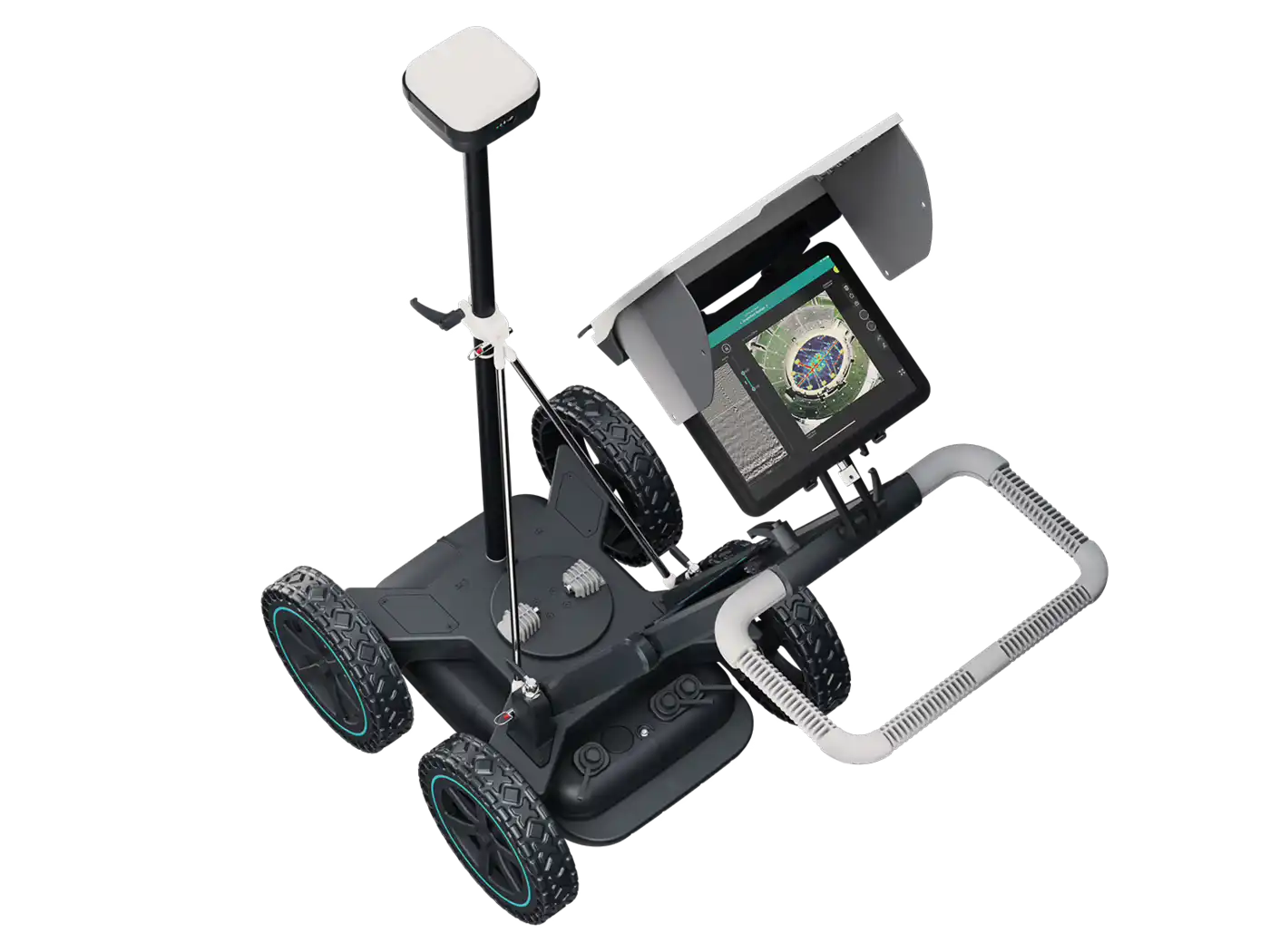
No methodology constraints and real time 2D & 3D visuals of the scanned subsurface optimal workflow on site for mark and locate, 3D radar work or any other application.
The freepath tool in the GS iPad OS App allows the user to arrive at site, turn on and start collecting high quality usable 3D data immediately without the need to set up grids or other site preparation.
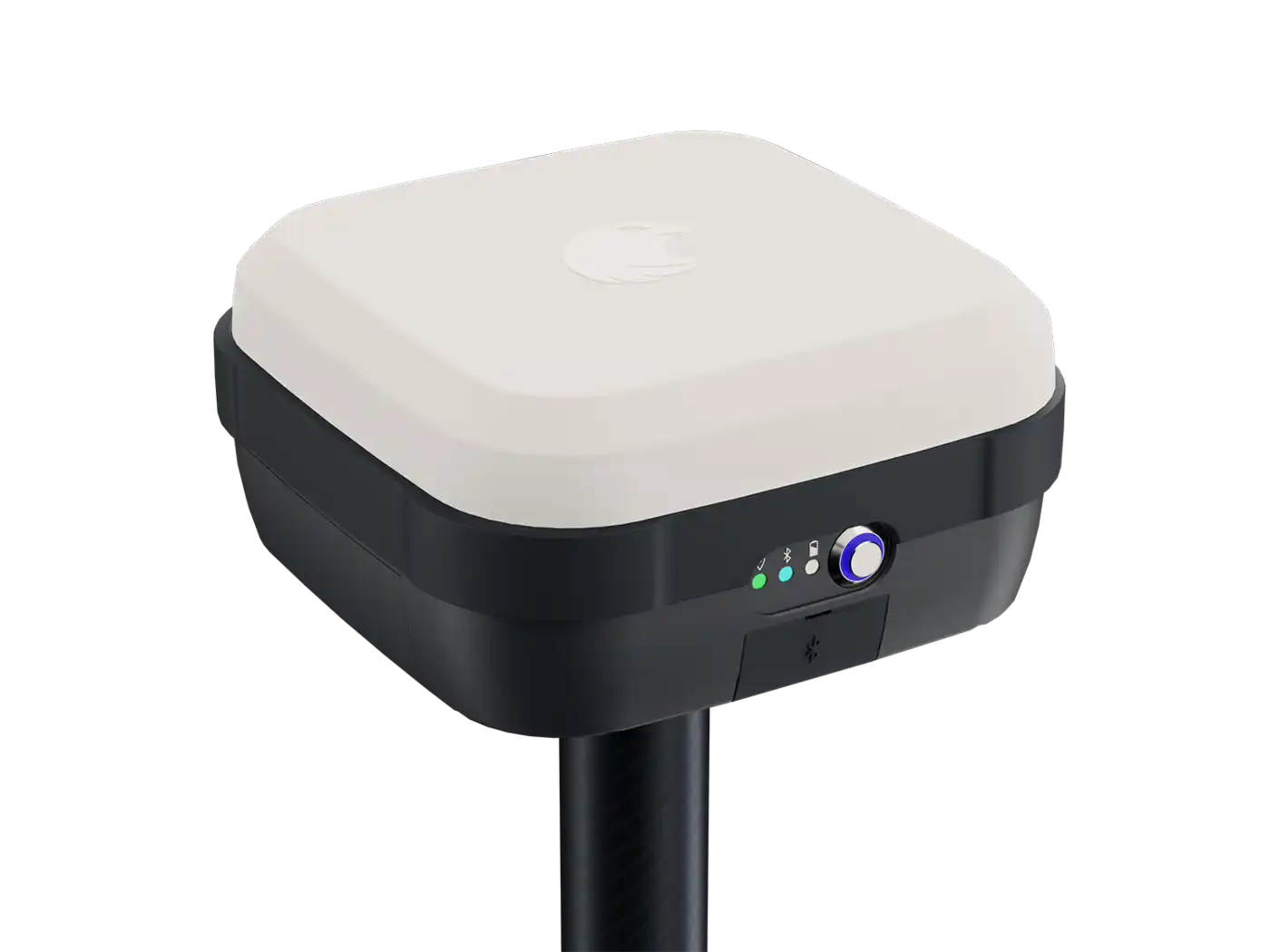
Power is not only hot swappable, it is expandable with any large capacity USB C battery bank; never buy a proprietary battery again. The MA8000 GNSS receiver is ideal for 3D data collection to 2 cm precision, or integrate with alternative satellite receivers and 3D party total stations ensure the location first workflow will go anywhere outside, underground or inside a structure.
Need to build something special? The Handle assembly may be reconfigured or replaced to build outside the cart mounted paradigm.
(Included in Pro Configuration)
Connect the GS8000 to an iPad and enjoy the feature rich Subsurface GPR app. With GNSS Location Setup, Data Collection, Visualisation, Record Keeping, Sharing and Reporting on the go, even in 3D or Augmented Reality.
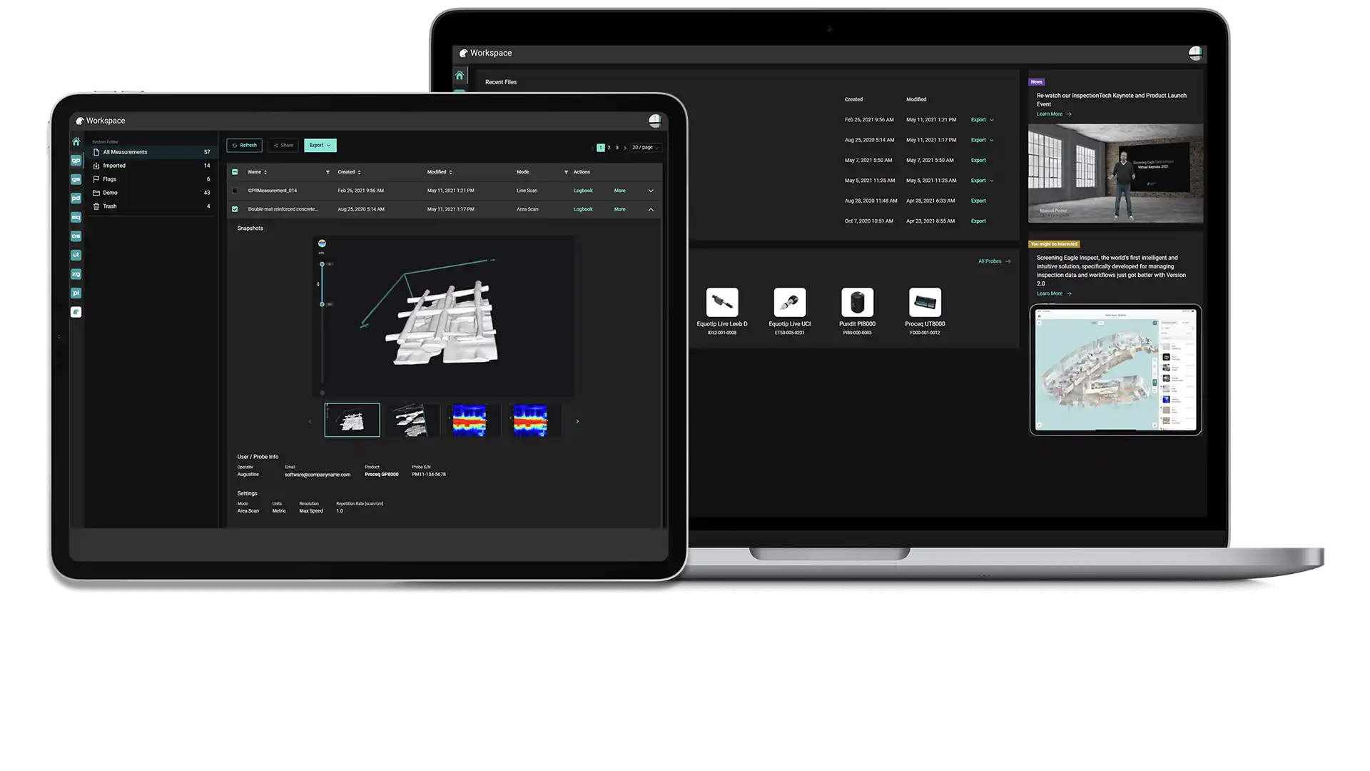
Workspace is for all users of Proceq devices with an App interface. View, store, and share data collected with GPR or other NDT technologies in an online, cloud synced dashboard ready for organisation and data sharing with collaborators or clients.
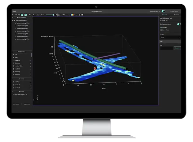
GPR Insights web-based data analysis software is a GPR platform agnostic tool for advanced analysis, annotation, visualisation and export of any GPR data, including Utility, Concrete Scanning and 3D Multi Channel data formats.

Book a SUE Workflow Demonstration
The GX1 transforms the GS9000 into a high-resolution structural assessment system for concrete slabs, bridge decks and pavements. Its dense, dual-polarisation array captures detailed 3D data across wide areas, supporting reinforcement and cover mapping, moisture and deterioration assessment, and analysis of asphalt and pavement layers. Live visualisation helps confirm survey coverage on site, while post-processing tools produce clear, report-ready condition maps.
1. Define the inspection area
Import the structure, bridge, pavement or survey background.
2. Collect closely spaced profiles
Capture 35 longitudinal and 15 cross-polarised channels with dense spacing.
3. Review coverage in the field
Use live radargrams and time slices to confirm that the required area has been captured.
4. Process the dataset
Apply velocity, gain, background removal, migration, filtering and topographic correction as appropriate.
5. Generate diagnostic maps
Create depth slices, reinforcement maps, layer information or application-specific condition maps.
6. Integrate with the engineering assessment
Export figures, mapped anomalies and raw data for inclusion in the engineer’s final interpretation and report.
Field information
Processed Diagnostic Information
Engineering deliverables
View some of these features at work below, and our case study if you'd like to see more of what the GS9000 can do.

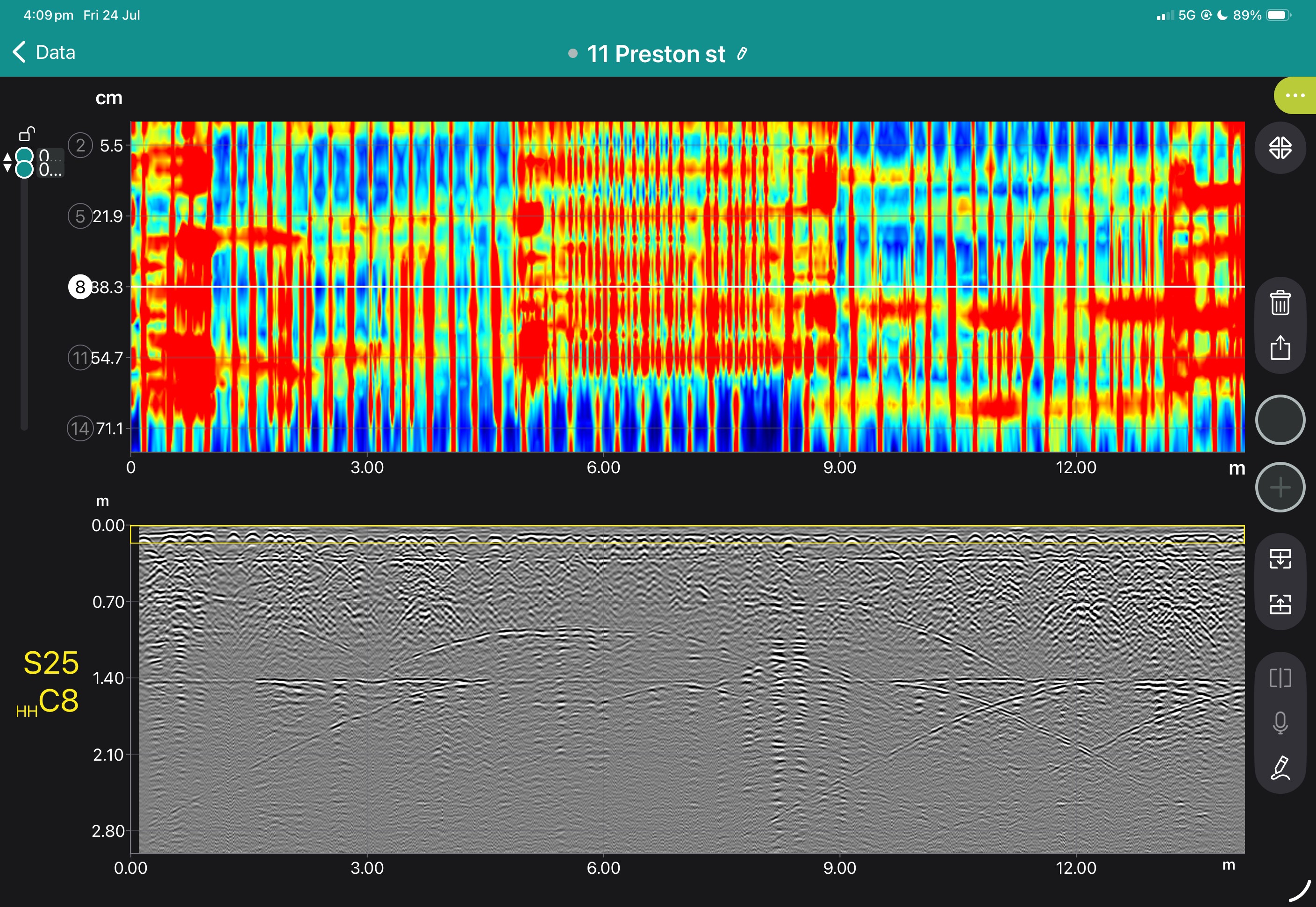


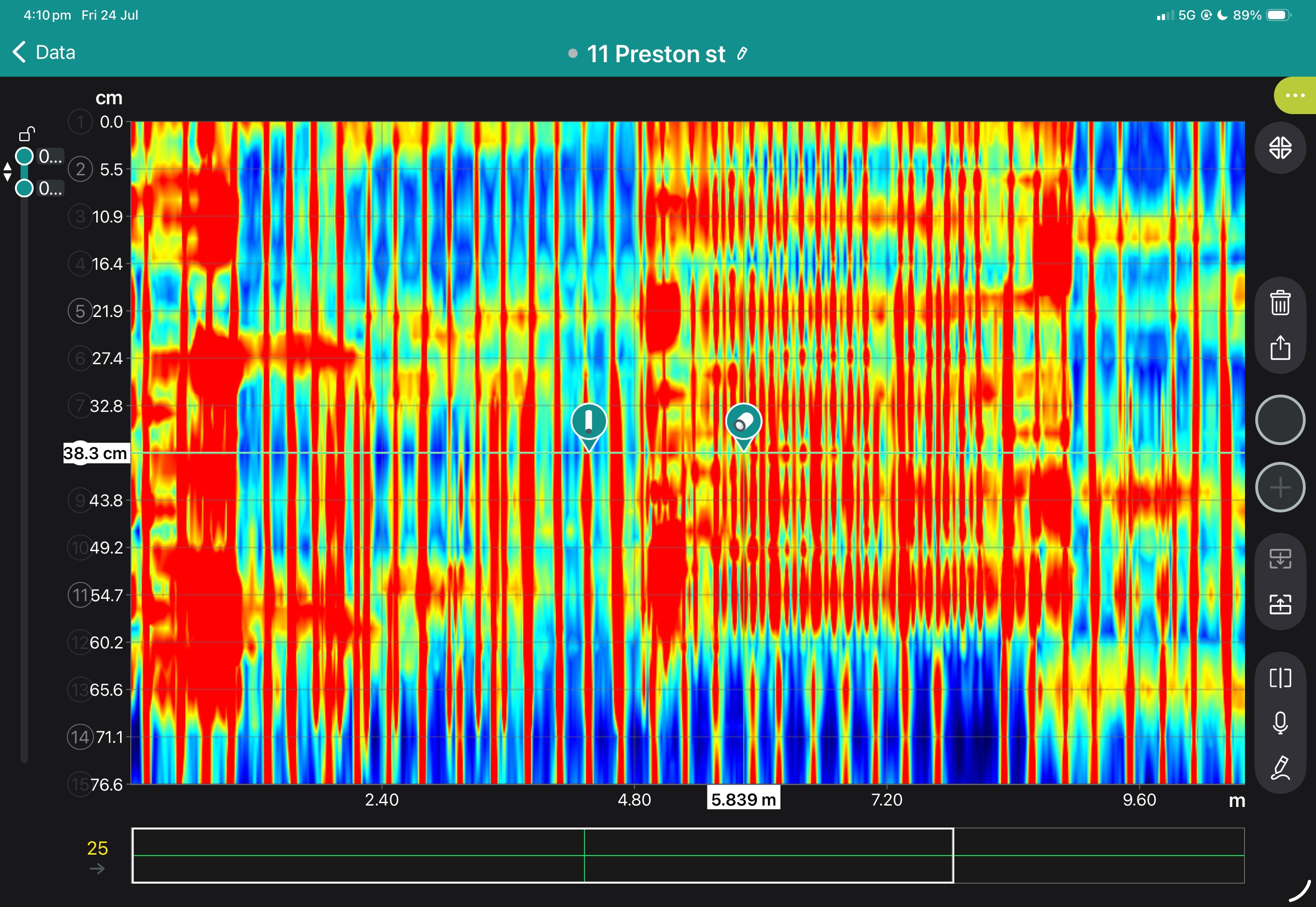

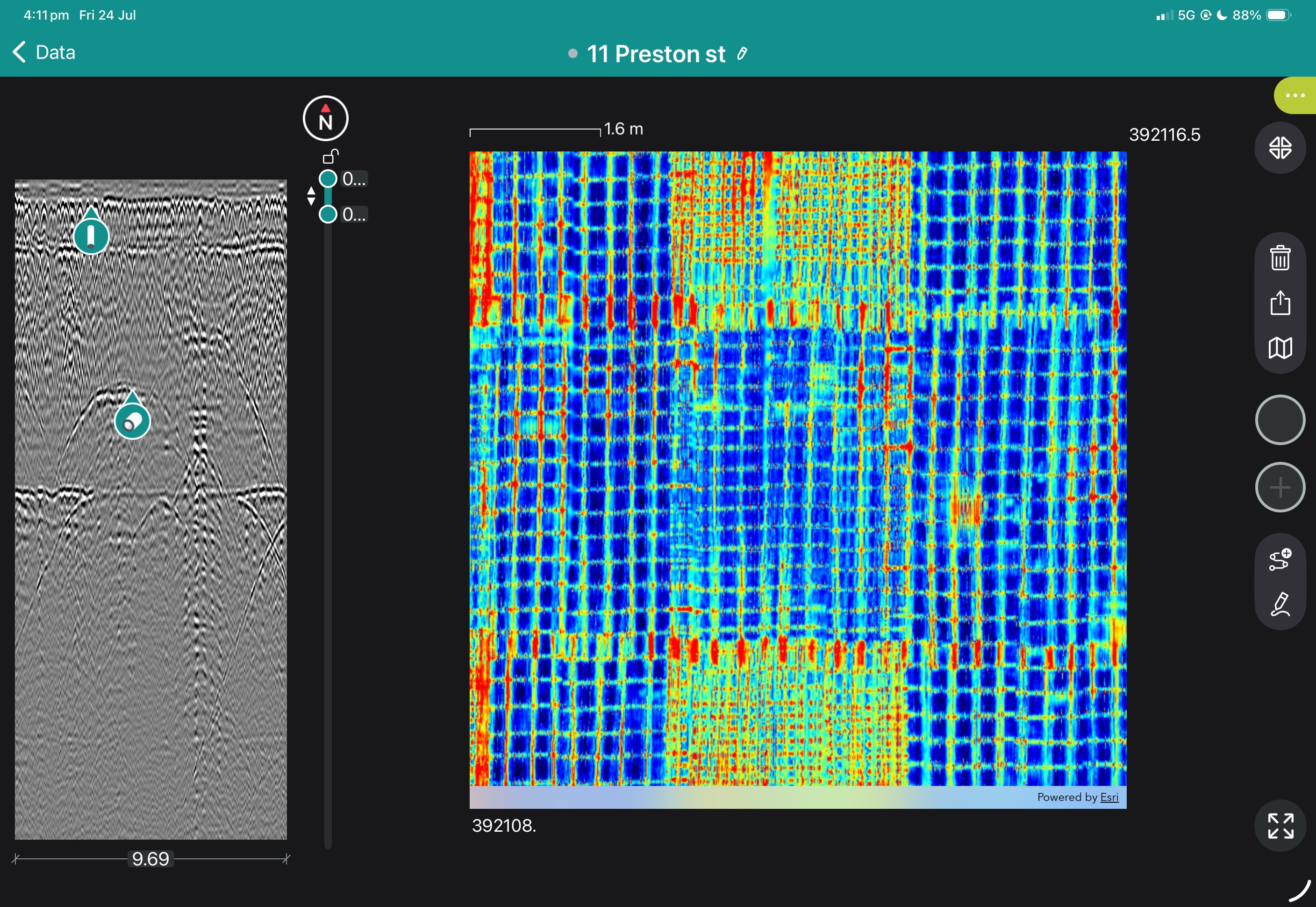
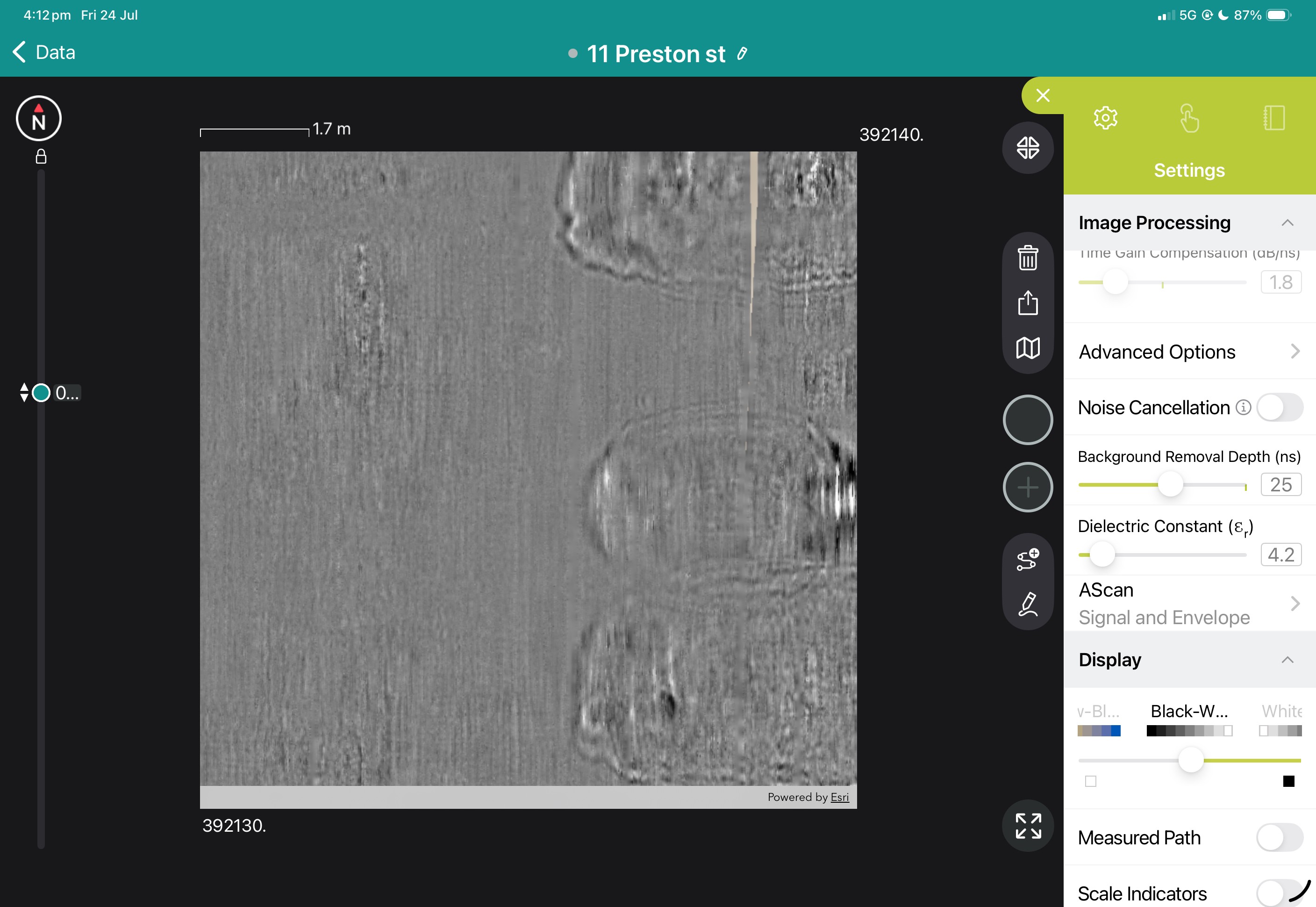
Book a Structural Assessment Demonstration
GS9000 cart with:

Since its launch the GS8000's Proceq GPR Subsurface app has already received one major software upgrade to version 2.0 "Freedom", and has reached version 2.2 during the span of 2022.
Read More...
Screening Eagle Technologies have released an update to Firmware version 1.30 for users of the MA8000 GNSS receiver.
Read More...Technical Data Sheet and specifications for the GS8000 subsurface radar.
Guide for initial assembly and connection to an iPad for the GS8000