%20vector%20logo.svg)


Phone: 02 9453 9999 or Email: sales-operations@pcte.com.au

Since the early 1970s, Proceq have been developing rebar locators and concrete cover meters. The result is the Profometer PM8000, the world's most compact, versatile and precise cover meter and the best Profometer yet!
Overview | GX1 vs GX2 | SUE & Utilities | Structures & Pavements | Software & Outputs | Case Studies | Specifications | Support
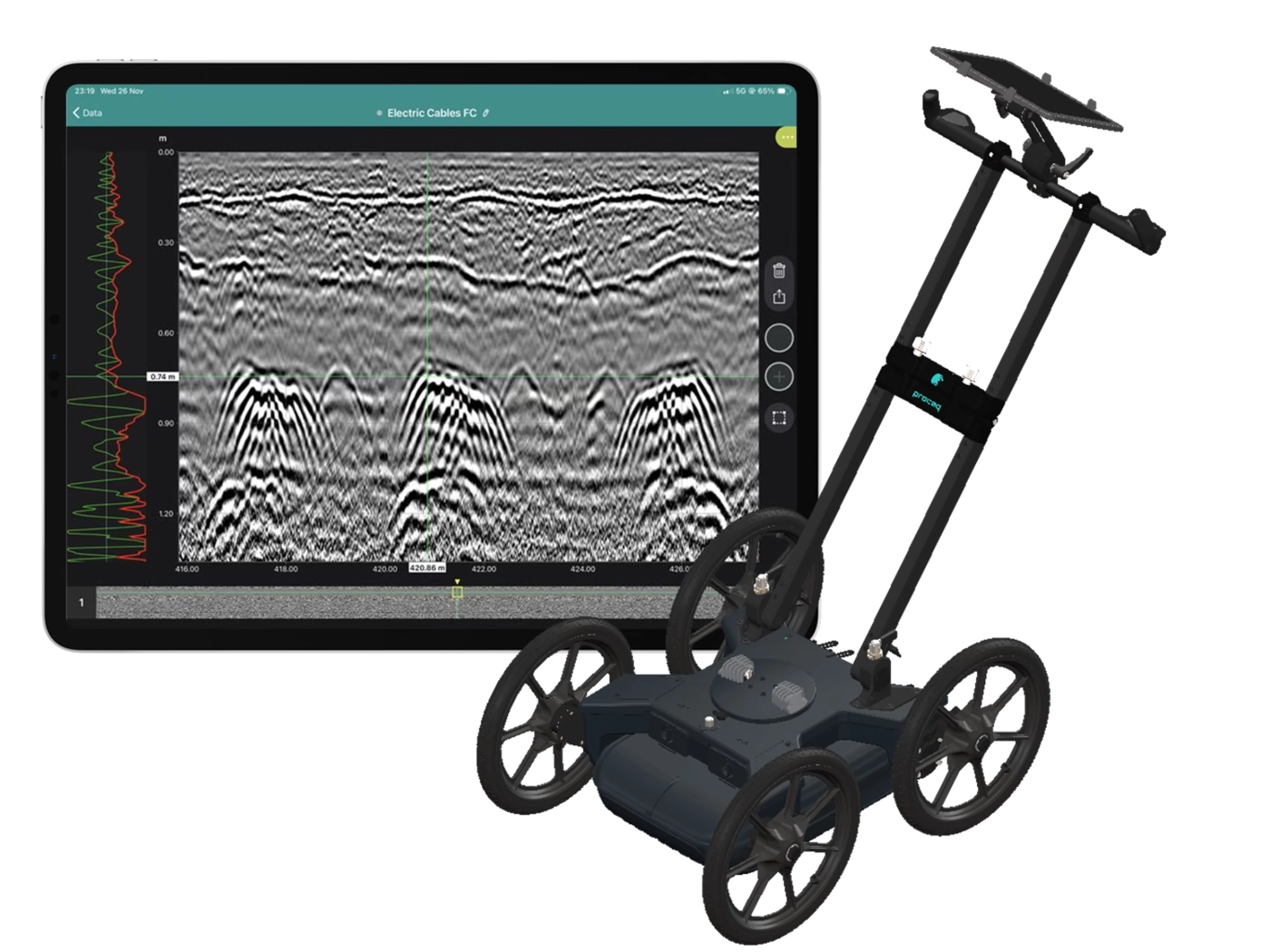
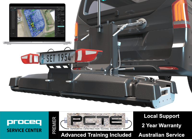
Collect high-density, georeferenced GPR data across wide areas and view the subsurface in 3D as you scan. Choose the GX2 array for SUE and utility mapping, or the GX1 array for structural, bridge and pavement investigations.
Best suited to:
Best suited to:
Recommended array: GX2
Recommended array: GX1
Cover more ground
Collect multiple parallel profiles in one pass instead of uilding a grid line by line.
See results during acquisition
View georeferenced radargrams and time-slice information in the field rather than waiting until the data is returned to the office.
Produce repeatable mapped data
Combine wheel-positioned GPR data with GNSS, project coordinates and survey linework.
Use one platform for two very different applications
Exchange GX1 and GX2 arrays without purchasing two complete cart platforms.
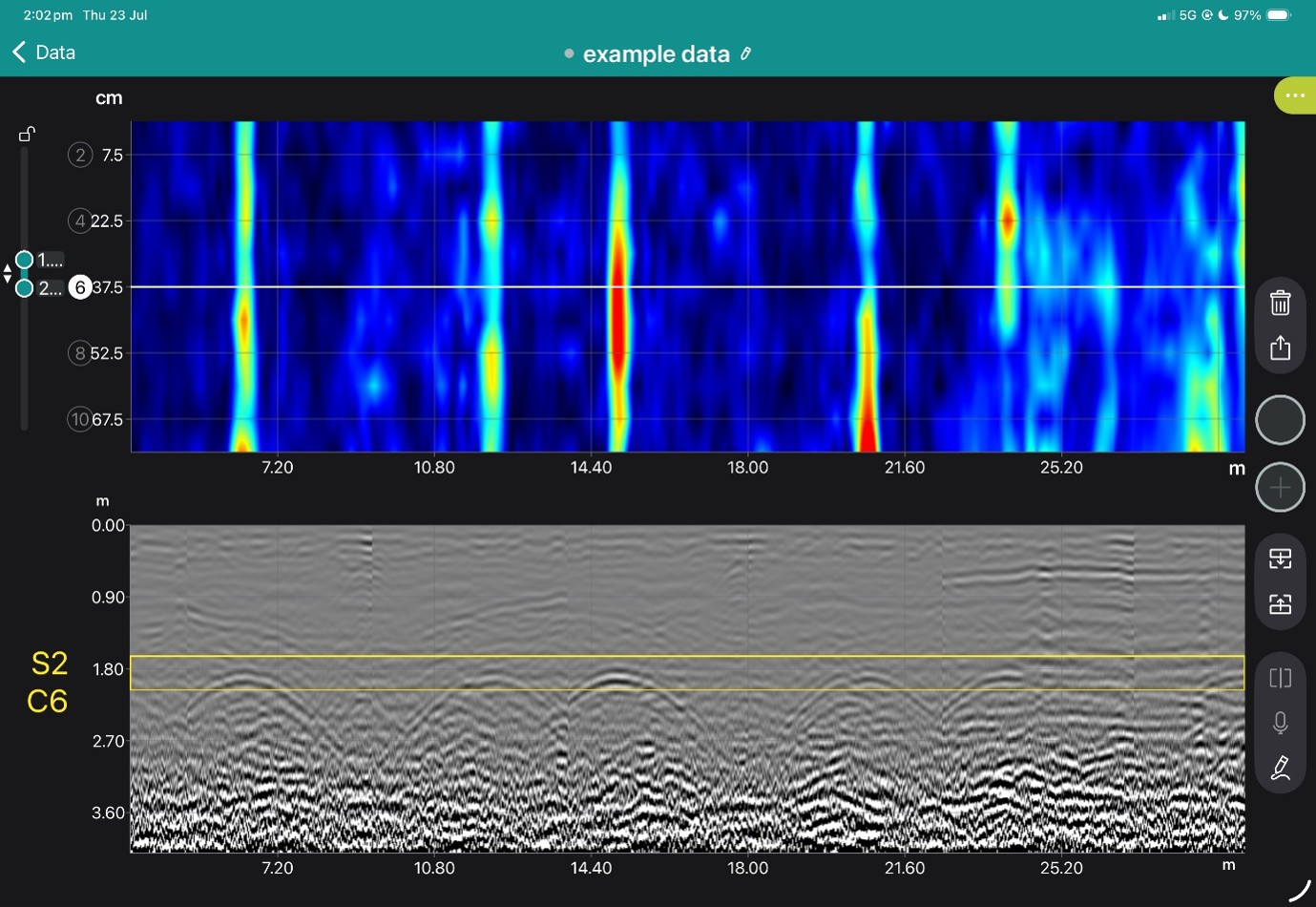
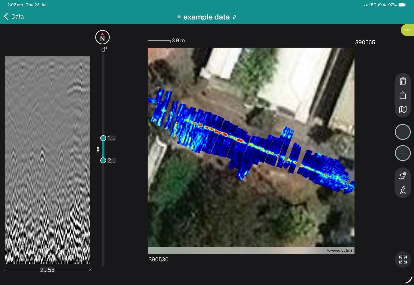
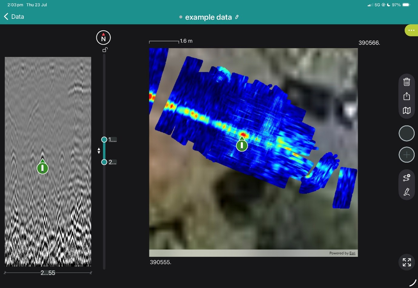
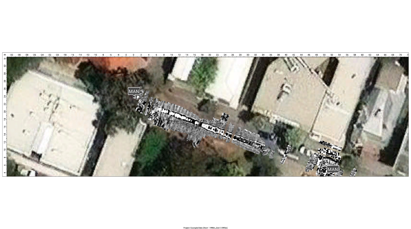
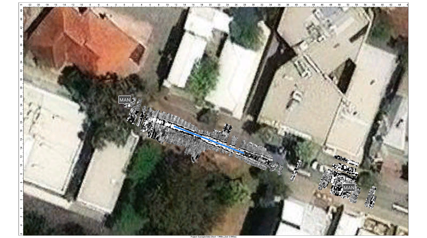
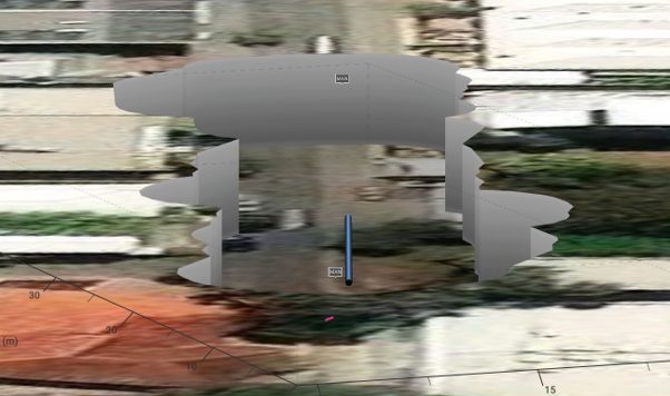
The GX2 transforms the GS9000 into a high-density subsurface utility mapping system. Its 11-channel, low-frequency GPR array captures an 83 cm-wide swath in each pass, helping operators detect and map buried pipes, ducts, cables, voids and other subsurface features. Live georeferenced data lets SUE teams review coverage on site and produce accurate CAD, GIS and project-coordinate deliverables.
1. Plan the survey
Load satellite imagery, CAD information, project coordinates or survey control.
2. Collect dense multichannel data
Survey an approximately 0.82 m-wide swath with 11 channels in each pass.
3. Review data live
Examine radargrams, georeferenced time slices and marked features while still on site.
4. Interpret and digitise
Add points, linework, tags, photographs and field observations.
5. Process and deliver
Merge survey areas, apply processing and export mapped information for the customer’s CAD, GIS or reporting workflow.
View the images below to see these in action.

A cover meter is used to precisely measure the depth from the surface of a concrete element to the top of the embedded reinforcing steel.
Cover depth is a critical value for the long term health and durability of structures, with small cover deficits risking decades of reduction in the service life of a structure.
Since the early 1970s, Proceq have been developing rebar locators and concrete cover meters.
The result is the Profometer PM8000, the world's most compact, versatile and precise cover meter and the best Profometer yet!
The PM8000 is ideal where the location and depth of the rebar needs to be known, this includes:
The PM8000 probe can be used independently for spot checks of cover depth and rebar diameter estimates, connect to the iPad App to download measurement sets for statistical analysis.
Snap on the wheeled cart for the PM8000 and PM8000 Pro models, to start scanning and mapping rebar layouts inside the iPad App, connecting via Bluetooth. An extension rod accessory is available for hard to reach areas.
The Profometer uses electromagnetic eddy current pulse induction to detect rebar. Multiple coil arrangements in the probe are periodically charged by current pulses and thus generate a magnetic field.
On the surface of any electrically conductive material which is in the magnetic field eddy currents are produced. They induce a magnetic field in the opposite direction. The resulting change in voltage can be utilised for the measurement.
Advanced signal processing allows localisation of a rebar, determination of the cover and estimation of the rebar diameter.
This method is unaffected by all nonconductive materials such as concrete, wood, plastics, bricks etc. However any kind of conductive materials within the magnetic field will have an influence on the measurement to the quality and the strength of the material.
PM8000 Lite
Spot measurement for brief quality control & rebar/metal detection
PM8000
Spot and Line Scan measurement modes quality control & rebar/metal detection as well as simple visualisation
PM8000 Pro
Full configuration for scanning, mapping, spot measurements and advanced statistics for quality control, durability & structural resistance assessment.
Book a SUE Workflow Demonstration
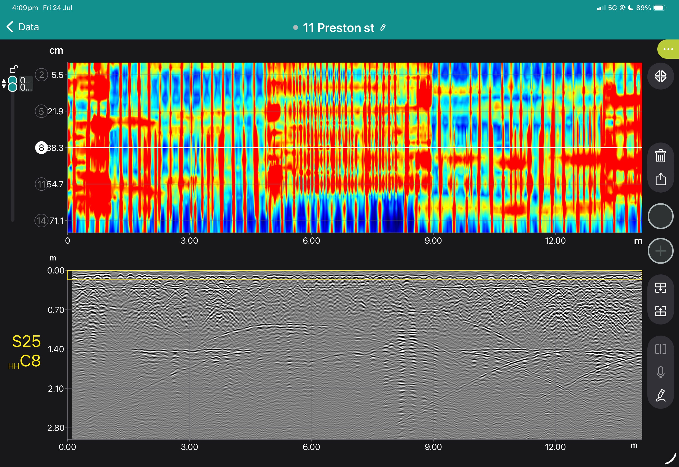
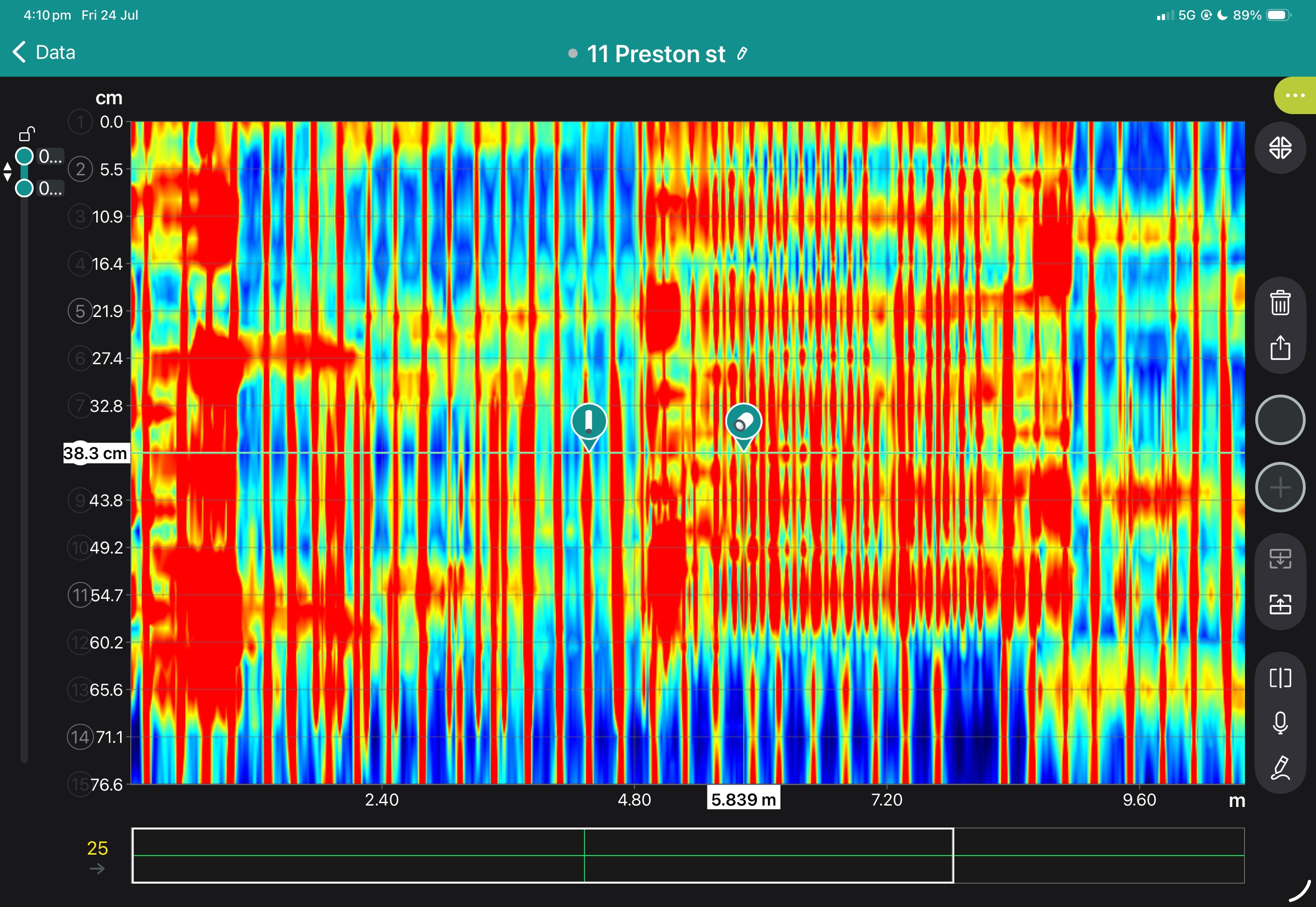
The GX1 transforms the GS9000 into a high-resolution structural assessment system for concrete slabs, bridge decks and pavements. Its dense, dual-polarisation array captures detailed 3D data across wide areas, supporting reinforcement and cover mapping, moisture and deterioration assessment, and analysis of asphalt and pavement layers. Live visualisation helps confirm survey coverage on site, while post-processing tools produce clear, report-ready condition maps.
1. Define the inspection area
Import the structure, bridge, pavement or survey background.
2. Collect closely spaced profiles
Capture 35 longitudinal and 15 cross-polarised channels with dense spacing.
3. Review coverage in the field
Use live radargrams and time slices to confirm that the required area has been captured.
4. Process the dataset
Apply velocity, gain, background removal, migration, filtering and topographic correction as appropriate.
5. Generate diagnostic maps
Create depth slices, reinforcement maps, layer information or application-specific condition maps.
6. Integrate with the engineering assessment
Export figures, mapped anomalies and raw data for inclusion in the engineer’s final interpretation and report.
Field information
Processed Diagnostic Information
Engineering deliverables
View some of these features at work below, and our case study if you'd like to see more of what the GS9000 can do.




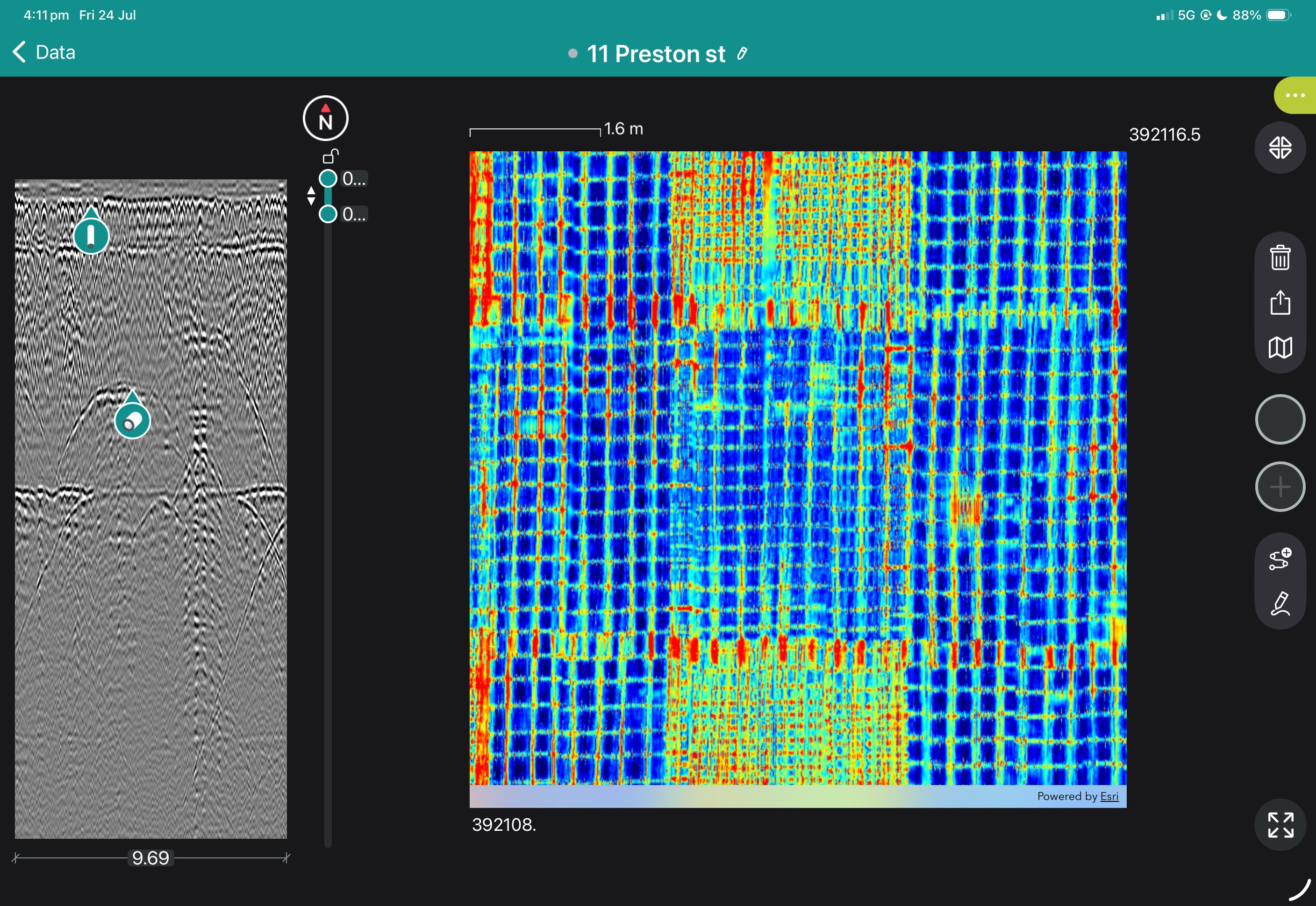
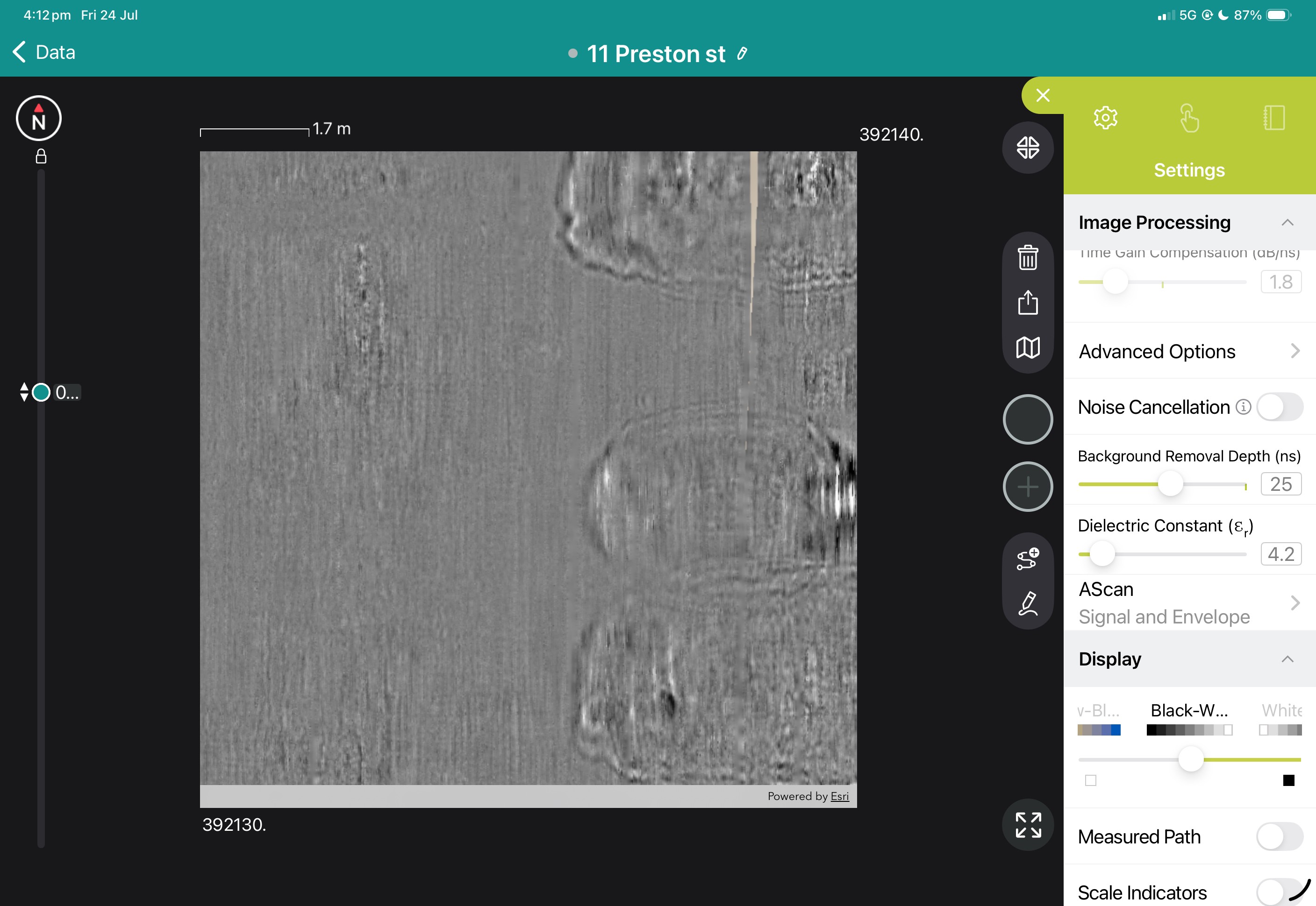
Book a Structural Assessment Demonstration
GS9000 cart with:


PM8000 Lite
DescriptionSpot measurement without data logging for brief quality control and rebar/metal detection
TechnologyEddy-current
Max Cover Depth RangeUp to 185 mm
Cover Accuracy±1 mm below 60 mm Increasing to ±4 mm at maximum depth range
Encoder AccuracyN/A
Max Measurement Speed0.5m/s

PM8000
DescriptionSpot measurement for brief quality control & rebar/metal detection. Data logging for traceability, Line Scan view for rebar depth slice.
TechnologyEddy-current
Max Cover Depth RangeUp to 185 mm
Cover Accuracy±1 mm below 60 mm Increasing to ±4 mm at maximum depth range
Encoder Accuracy±0.5mm + 0.5% of measured length
Max Measurement Speed0.5m/s

PM8000 Pro
DescriptionFull configuration for scanning, mapping, spot measurements and advanced statistics for quality control, durability & structural resistance assessment.
TechnologyEddy-current
Max Cover Depth RangeUp to 185 mm
Cover Accuracy±1 mm below 60 mm Increasing to ±4 mm at maximum depth range
Encoder Accuracy±0.5mm + 0.5% of measured length
Max Measurement Speed0.5m/s

Rebar cover depth measurement over curved elements like columns is now more accurate with the Neighbouring Rebar Correction Update for the PM8000 Cover Meter.
Read More...
A pair of video tutorials on operation of concrete rebar cover meters, and the particular operation requirements for the Profometer PM8000.
Read More...
The PM8000 Cover meter range includes the PM8000 Lite, PM8000 and PM8000 Pro. This article clarifies the functionality of each.
Read More...System Manual for the PM8000, including Lite and Pro operation modes.
Manufacture brochure including technical specifications.